
CRR is fully useful when no Radar information is available, not only out of the Radar coverage areas but also when Radar itself or the communications fail.
Regarding the lower rates that CRR provides, they can give an approach to the structure of the precipitation pattern, some information on how strong the convection is in a convective event or/and which the critical areas are.
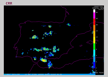
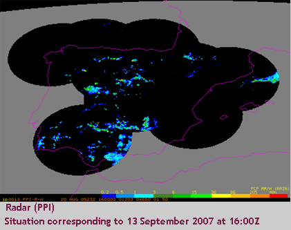
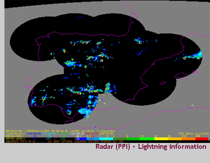
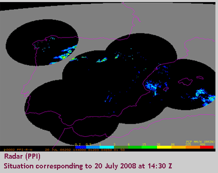
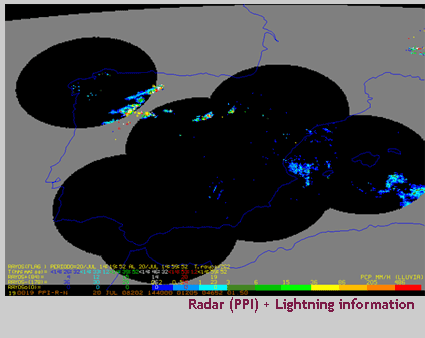
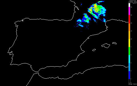
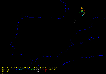
The following examples show a comparison between CRR, Radar and lightning information. It can be observed that in absence of Radar information, CRR provides an approach to the precipitation pattern as well as of the intensity of convection, being in agreement with the lightning information.
This example corresponding the 13th September 2007 at 16:00Z shows that CRR and Radar patterns are similar but there are some areas without Radar information. Here CRR can help us to know what’s going on there.
|
|
|
|
|
|
|
|
||
|
|
|
|
|
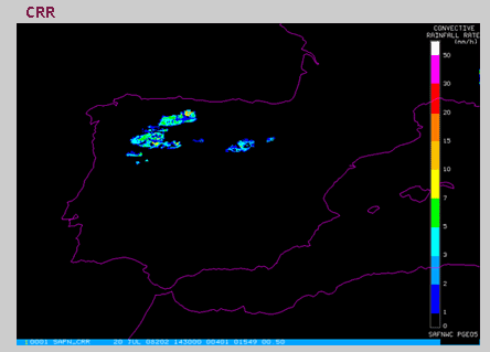
CRR can be very helpful detecting convective events out of the Radar coverage.
 |
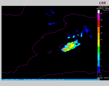 |
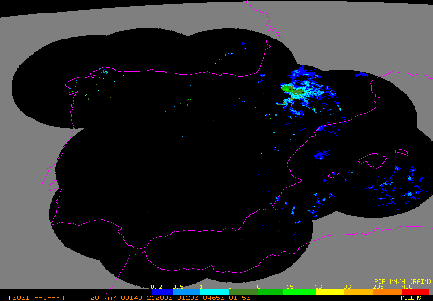
The 20th July 2008 at 14:30Z, CRR provided important information about the convective event occurred in Zamora when Radar information were not available.
|
|
 |
|
|
 |
 |
||
|
|
|
|
|
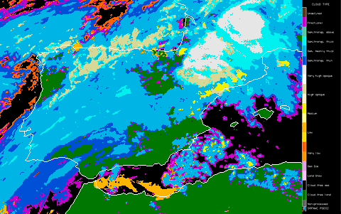
This is an example of a severe storm on the 20th May 2009.
This loop shows the cloud evolution of the convective system from 14:00 to 22:00 through three products: Radar PPI, CRR and Cloud Type. There is a good agreement between them and the lightning information.
This loop also shows that very high opaque clouds in cloud type product follow the same path and structure as CRR pattern, and it can be easily observed the transition in CRR signal from 3D calibration to the 2D calibration.
 |
 |
 |
 |