
Morocco, 04-05.04.2022. Description
This Case Study was used in the course "Online training on nowcasting tools using EUMETSAT satellite products for the NMHSs in African countries"
Objective
Your are a forecaster responsible for the weather in Morroco. Your mission is to emit warnings to the Civil Protection authortities on any kind of hazardous event, like heavy precipitation or potential flooding. You know that during these two days there is a high chance of heavy precippitation and you need to alter Civil Protection authorities of localized events that can be potentially harmful for lifes or property.
Case study:
Heavy rainfall affected Morocco North provinces and Spanish city of Melilla.
In Melilla, emergency services received more than 170 calls for assistance.
Local media said roads and some buildings were flooded and the Rio de Oro broke its banks and flooded the beach area with trash.
In Morocco, local media reported flooding in several districts of Chefchaouen and Al Hoceima provinces. In Tetouan 11 cars were reportedly swept down streets and more than 200 houses were affected. A national road linking Tetouan to Chefchaouen was blocked.
Considering METAR and SYNOP information for 04+05 April 2022:
- Precip. in Melilla (04th between 11-18Z; 05th between 04Z-12Z): 78 mm.
- Precip. in Tetouan 89 mm, in Chefchaouen 33 mm, in Nador 50 mm.
Region of study:
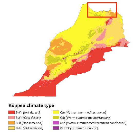
Rif region/Morocco and Melilla/Spain (Mediterranean climate, becoming Steppe climate in Eastern areas)
Behaviour of NWC/GEO products during the event:
-Humidity and Instability product (iSHAI)
All activity is related to a cut-off low, displacing Northeast from Southwest Morocco throughout 04th April, and becoming stationary over Northern Morocco on the 05th April.
The usability of iSHAI product is limited due to the cloudiness, but on 04th April the “total precipitable water loop” (iSHAI tpw Loop) defines a clear moisture input from the Southwest with water values > 30 mm, which displaces with the low. Later on, this moisture reduces progressively while the system advances northeastward. The observed precipitation is related to this moisture input.
Considering the iSHAI “water content loops for the different layers”: boundary (iSHAI bl Loop), medium (iSHAI ml Loop), and high layer (iSHAI hl Loop), the moisture input is related to the low levels, and partially to the medium layer. The loop for the boudary layer also shows that the moisture input is related to high moisture throughout all the subtropical Atlantic ocean.
Considering the iSHAI “Instability indices (LI - iSHAI li Loop, K - iSHAI ki Loop, Showalter - iSHAI shw Loop)”, “K index” defines some instability along the way the low is displacing. The other indices do not provide in this case information on instability.
With all this, the information provided by iSHAI product for this case is the moisture input coming from the Southwest and the small instability shown by “K index”.
-Cloud products (Cloud type, CTTH Cloud Top height):
“CT/Cloud top loop” (CT Loop) and “CTTH/Cloud top height loop” (CTTH Loop) show the evolution of the convective clouds related to the low throughout both days.
On 4th April, the main convection cores move from the central Atlantic Moroccan coast northestwards, reaching the Rif region around midday. Later on, the system moves on into Spain. A second convective front develops behind in the evening, affecting the Rif region in the night between 04th and 05th April, and also moving on into Spain in the morning of 05th April.
The convective clouds over Morocco reach heights of 12km during the initial part of the first day on the Moroccan West coast, but reach lower heights later on: 10 km in the second part of the first day, and 8 km on the second day.
-Precipitation products (CRR, CRRPh Convection intensity):
The newer precipitation product (CRRPh Loop based on physical properties) reflects much better than the older product (CRR Loop) the precipitation related to the episode, which moves with the convective clouds in the same way: from the central Atlantic Moroccan coast northestwards reaching the Rif region around midday of the first day, and with a second convective front developing behind in the evening, affecting the Rif region in the night between 04th and 05th April.
Maximum precipitation values are however limited: up to 15 mm/hour only in the morning of the first day. Considering information from both Cloud and Precipitation products, the smaller convection in the later stages of the episode seem to relate its severity more on the persistence of the precipitation in each region, than on the severity of the convection itself.
-Convection products (Convection Initiation CI, Rapidly Developing Thunderstorms RDT):
Considering the loop for the “Rapidly Developing Thunderstorm” product (RDT Loop), due to the presence of many clouds in many layers very few convective cells are detected during the first day. During the night and the second day more convective cells are detected. But the joint use of Cloud and Precipitation products is much better to detect the convective cells in this case study.
Considering the loop for the “Convection initiation” product (CI Loop, probability of a cloudy pixel to become a thunderstorm in the following 30 minutes) many pixels are activated throughout all the event with the probability to become a thunderstorm, although a part of them is false alarms. Comparing with RDT, CI products provides in this case study more information useful for convection.
-Wind product (High Resolution Winds HRW):
The loop for the “High Resolution Winds” product (HRW Loop) shows the Southwest flow with which the low moves at all levels during the first day, and the cyclonic flow of the low when it becomes stationary during the second day. Wind shear is shown between the low pressure flow at high levels, and the general trade winds at low levels from the North/Northeast, over the Atlantic Ocean and in the northern limits of the pressure low.
NWP Fields