
Quick Guide
Brief Information
The users can exploit the NWC SAF files as interactive maps.
The proposed solution provides an interface between the NWC SAF software and ADAGUC, you can find more information at the following link. This page and the web linked before, are also meant to support small countries to have a first access to the NWC SAF contents, in particular in the African area.
ADAGUC (Atmospheric Data Access for the Geospatial User Community) is an open source geographical information system to visualize netCDF, GeoJSON, CSV HDF5 and PNG files via Web Maps Services interactive. It has been designed to compare datasets in space and time by offering geographical maps, histograms, ensembles and time-series of atmospheric datasets. The ADAGUC server supports real time update and aggregation of data streams, making data from radars, satellites and operational weather models accessible as a webservice. ADAGUC is developed by the KNMI (The Royal Netherlands Meteorological Institute). KNMI's ADAGUC web
Step by Step
Before going to the NWC SAF view on ADAGUC, please be aware of the first steps (below):
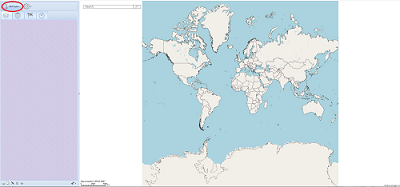
|
1.- click on Add Layers |
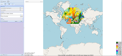
2.- Select a Layer |
|
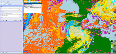
3.- Zoom to your Area |
4.- Click, then retrieve the value |

Now you are ready to go to the NWC SAF view on ADAGUC.
Access to whole disk products run on the European Weather Cloud (EWC) (non-operational).
For further instructions or in-house exploitation please go to Advanced Visualization Tools (after signing-in).