

Introduction
This guide explains the NWC SAF products from a practical point of view, when used in an aeronautic forecasting environment. It should be useful for aeronautic forecasters and aviation users. The main objective of this guide is to highlight the main meteorological phenomenons which are harmful to aviation and how to use each NWC SAF product to detect them, as well as its limitations.
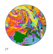
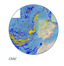
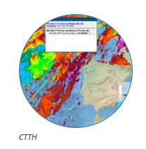
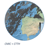
Fog
| Phenomena | Product | Meteorological Context |
| Fog | CT/CMIC/CTTH | Diagnose cloud characteristics, top height and liquid content. |
Icing
| Phenomena | Product | Meteorological Context |
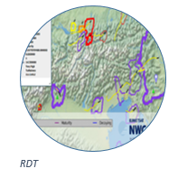
| Icing | RDT | Screens which storms have high-altitude icing risk associated. |
| CTTH/CMIC | Combined cloud top temperature and phase can diagnose classical icing. | |
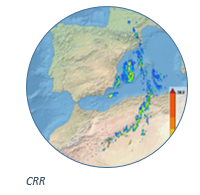
| CRR | As heavy rain comes from cumulonimbus and towering cumulus it gives an idea of areas of possible icing associated with these clouds. |
Dust & Volcanic ash
| Phenomena | Product | Meteorological Context |
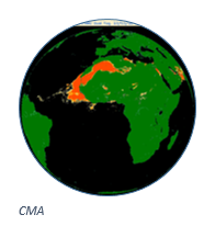
| Dust and Volcanic ash | CMA | Diagnoses thick dust events or significant volcanic eruptions. |
Storms & Convection
| Phenomena | Product | Meteorological Context |
| Storms and Convection | CMIC | Identification of cloud top glaciation. |
| CRR | Diagnoses rainfall associated with convection. | |
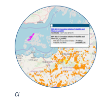
| CI | Probability for a cloudy pixel to become a thunderstorm. | |
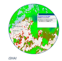
| iSHAI | Diagnoses instability indexes, moisture and deviations against NWP. | |
| RDT | Information and trajectory forecast on clouds related to significant convective systems: extension, overshooting tops, high icing. |
Turbulence
| Phenomena | Product | Meteorological Context |
| Turbulence | RDT | Turbulence associated with developed storms. |
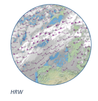
| HRW | Turbulence associated with high wind shear and high wind speed. | |
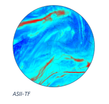
| ASII-TF | Turbulence associated with tropopause folds. | |
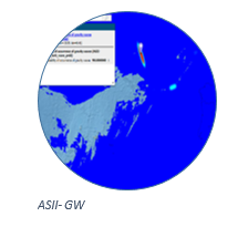
| ASII-GW | Context where turbulence can appear, if the gravity waves break. | |
| CRR | As heavy rain comes from cumulonimbus and towering cumulus it gives an idea of areas of turbulence associated with these clouds. |

Wind
| Phenomena | Product | Meteorological Context |
| Wind | HRW | Warning of dangerous wind situations. |
| Monitoring of wind convergence/divergence. | ||
| Monitoring of the general atmospheric flow, of small scale circulation and of wind singularities at the different pressure/flight levels. |